Description
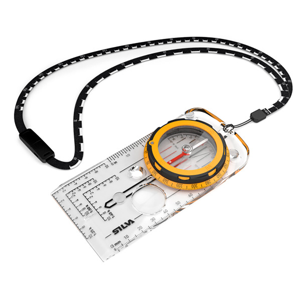
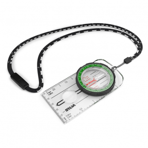
The Expedition can also map-measure 1:40,000. The slope card is great both for detecting avalanche risk and for determining how challenging your journey will be. By knowing the slope you can also judge any extra distance that you need to go due to the slope. The scale lanyard has two scales on it; 1:25, and 1:50, which facilitates to measure the distance of your hike. Since its soft and bendable it’s easy to place it directly on to your route on the map. The new graphics contain a more distinct arrow (Expedition) and also a more contemporary font.
Features
- Attachment: Detachable safety-release scale lanyard
- Clinometer: Yes
- Declination adjustment: Permanent adjustment for local magnetic declination
- Magnifying lens: Yes
- Scales: 1:25k, 1:40k, 1:50k, GPS scales, Lanyard; 1:25, / 1:50, mm, inch
- Silicon friction feet: Yes
- Variant : Magnetic South
- Slope card: Yes
