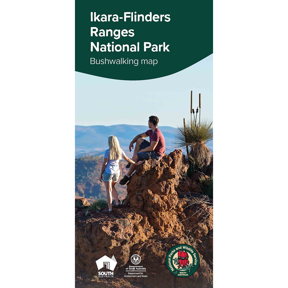
Description
Ancient and rugged mountain landscapes, peaceful tree-lined gorges and a seasonal wealth of wildlife. The sense of space unique to the semi-arid zone combine to make Ikara-Flinders Ranges National Park one of South Australia’s iconic destinations.
The park comprises approximately 95,000 hectares. It includes the Heysen Range, Brachina and Bun-yeroo gorges and the vast amphitheatre of mountains that is Ikara Wilpena Pound. Experience the native wildlife, rich cultural heritage, impressive geological features, camping opportunities and a range of activities including bushwalking, four-wheel driving, birdwatching, photography and mountain biking.
Features
- Detailed topographic bushwalking map including all roads, tracks and trails, features of interest, park facilities, and elevation is represented via a hillshade and contours
- Park information including details about bushwalking trails, features of interest within the park, safety information and an elevation profile of the points of interest