Description
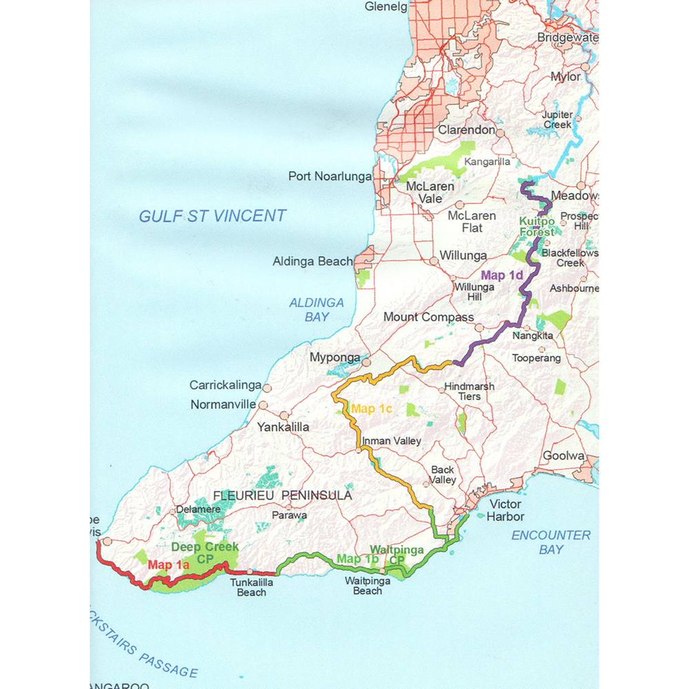
Map 1: Cape Jervis to Kuitpo Forest – published September 2014
- Map 1A, Cape Jervis to Tunkalilla Beach
- Map 1B, Tunkalilla Beach to Victor Harbor
- Map 1C, Victor Harbor to Mount Cone
- Map 1D, Mount Cone to Kuitpo Forest
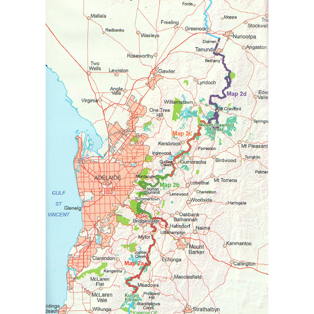
Map 2: Kuitpo Forest to Tanunda – published September 2014
- Map 2A, Kuitpo Office to Bridgewater Oval
- Map 2B, Bridgewater Oval to Stone Hut Road
- Map 2C, Stone Hut Road to Tower Hill
- Map 2D, Tower Hill to Dorrien
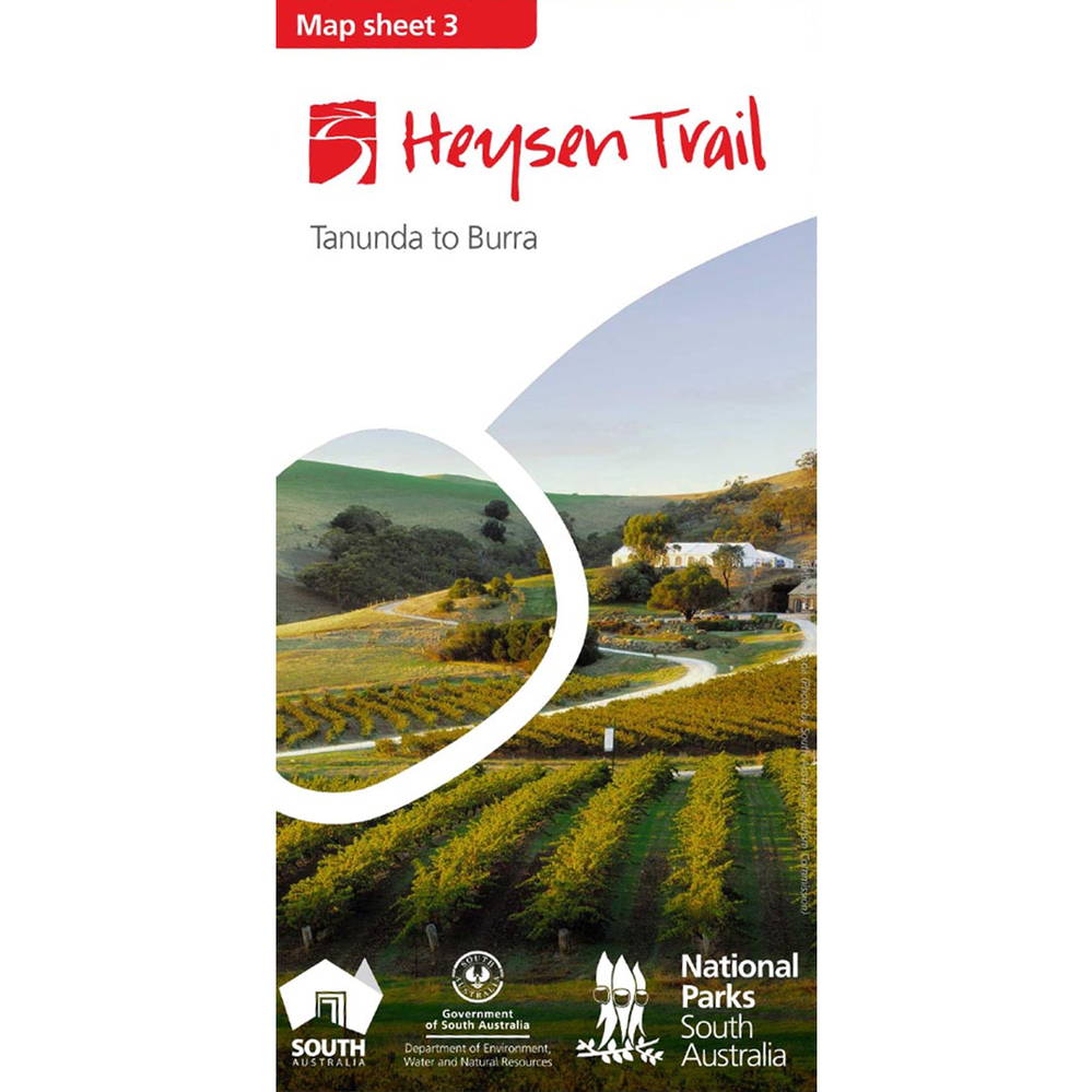
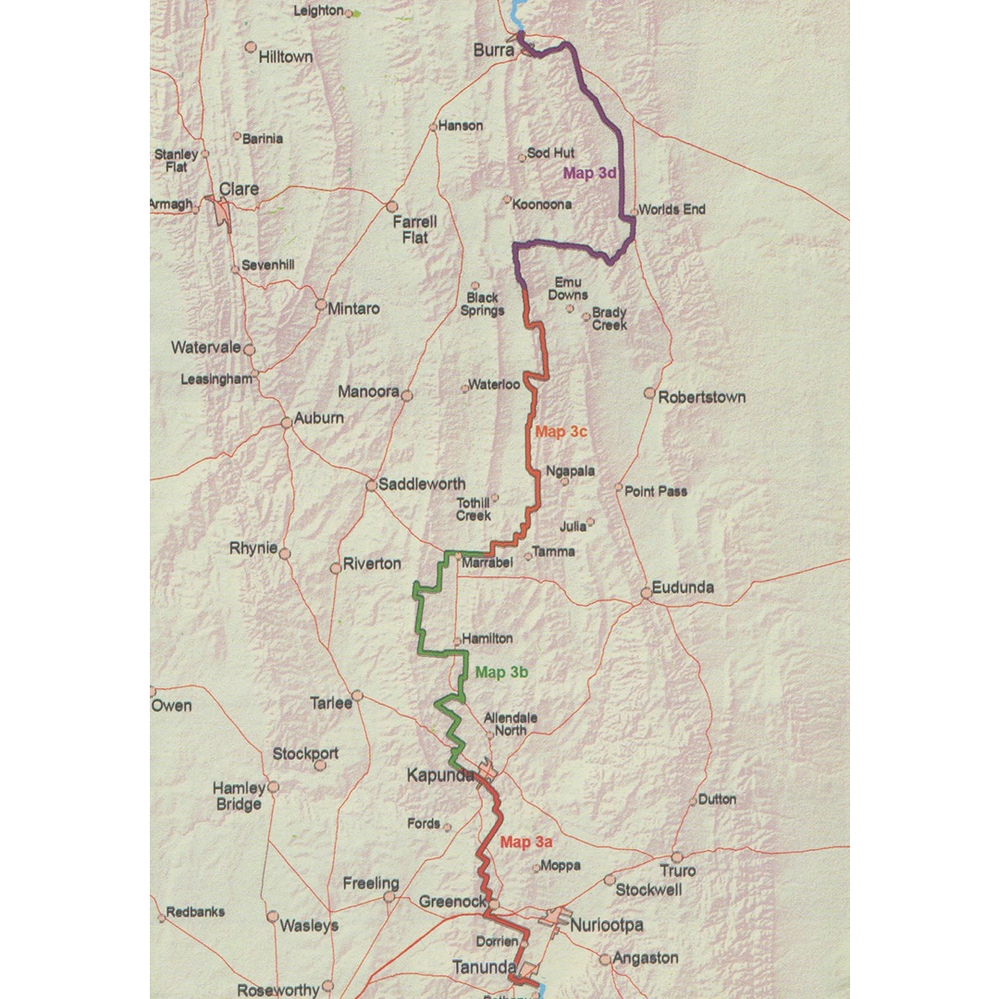
Map 3: Tanunda to Burra – published May 2015
- Map 3A, Tanunda to Kapunda
- Map 3B, Kapunda to Marrabel Golf Club
- Map 3C, Marrabel Golf Club to Tothill Gap
- Map 3D, Tothill Gap to Burra
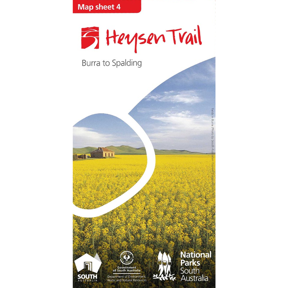
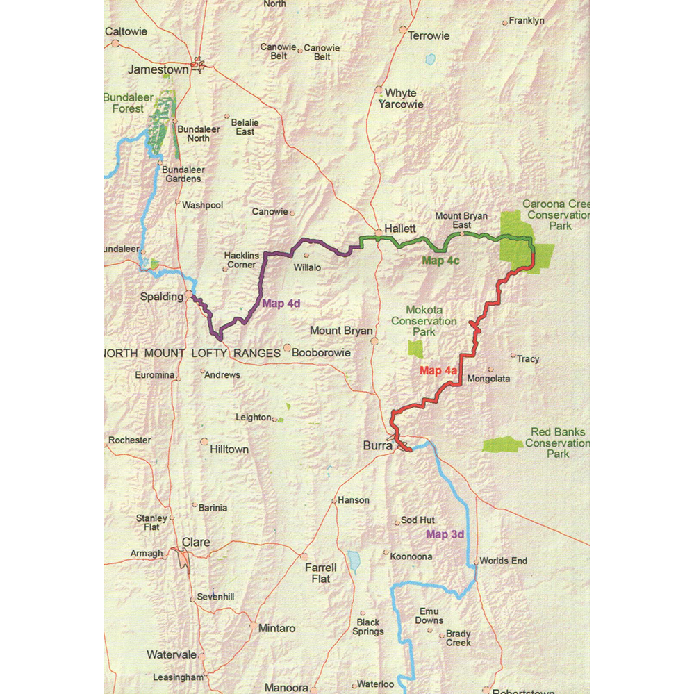
Map 4: Burra to Spalding – published May 2015
- Map 4A, Burra to Caroona Creek Conservation Park
- Map 4B, Caroona Creek Conservation Park to Hallett
- Map 4C, Hallett to Spalding
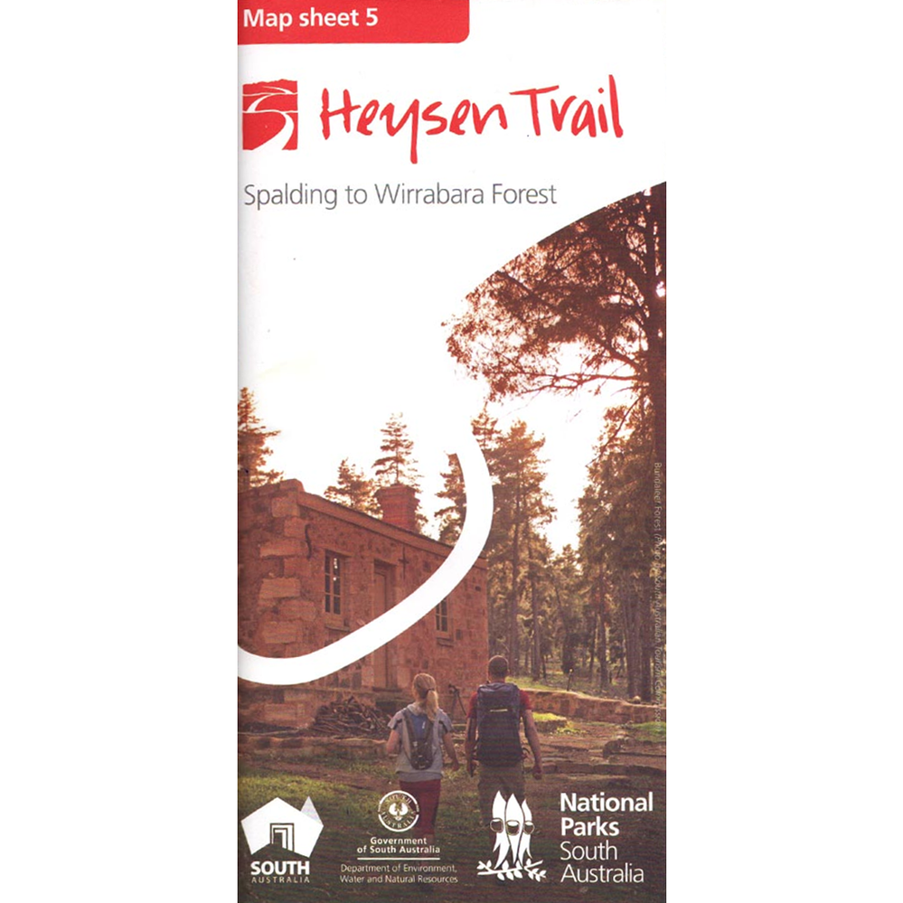
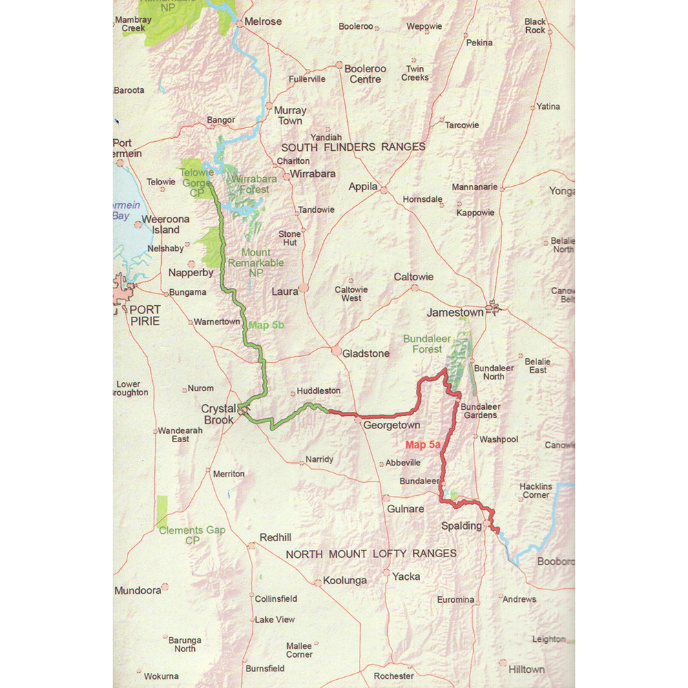
Map 5: Spalding to Wirrabara Forest – published August 2015
- Map 5A, Spalding to Hiskeys Hut
- Map 5B, Hiskeys Hut to Wirrabara Forest
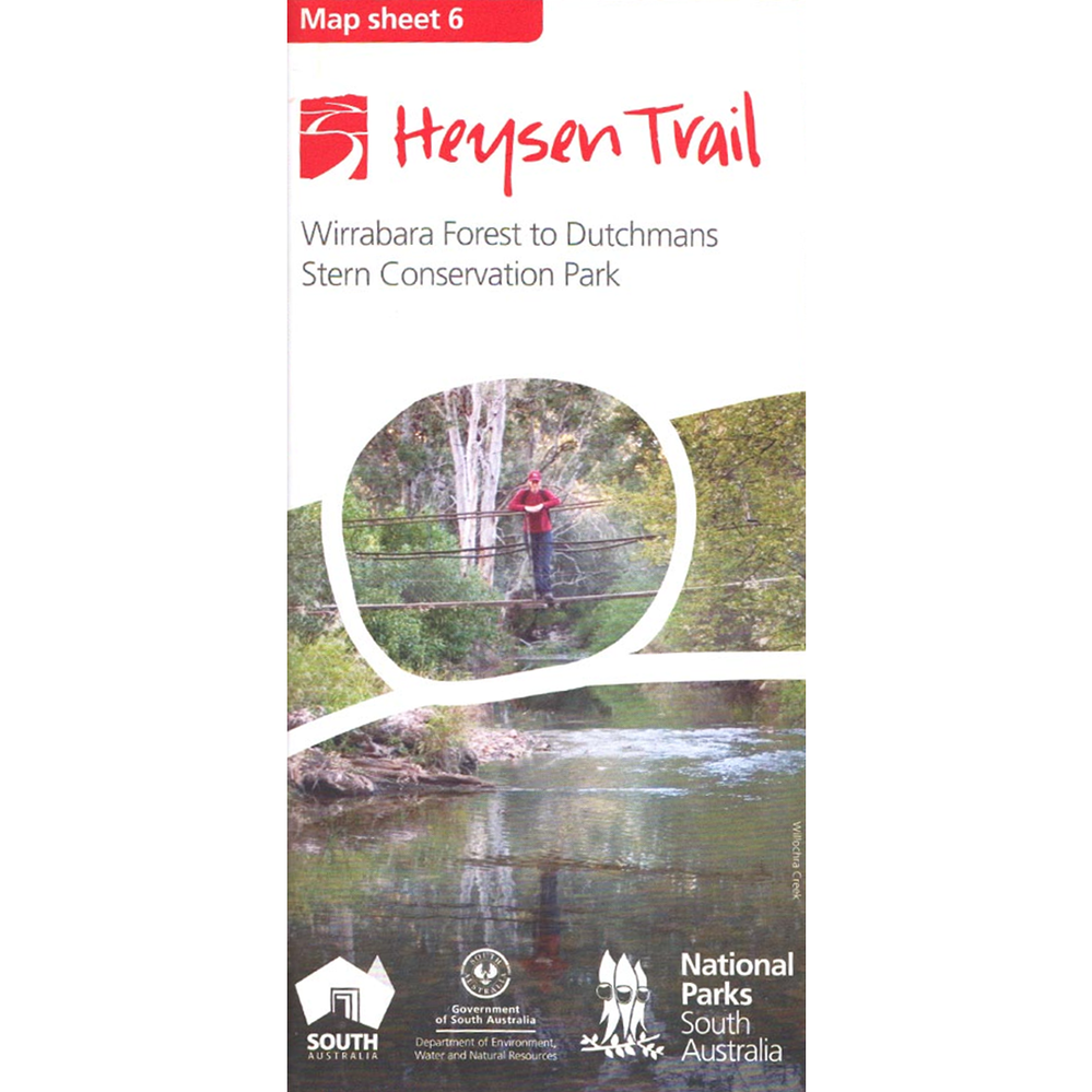
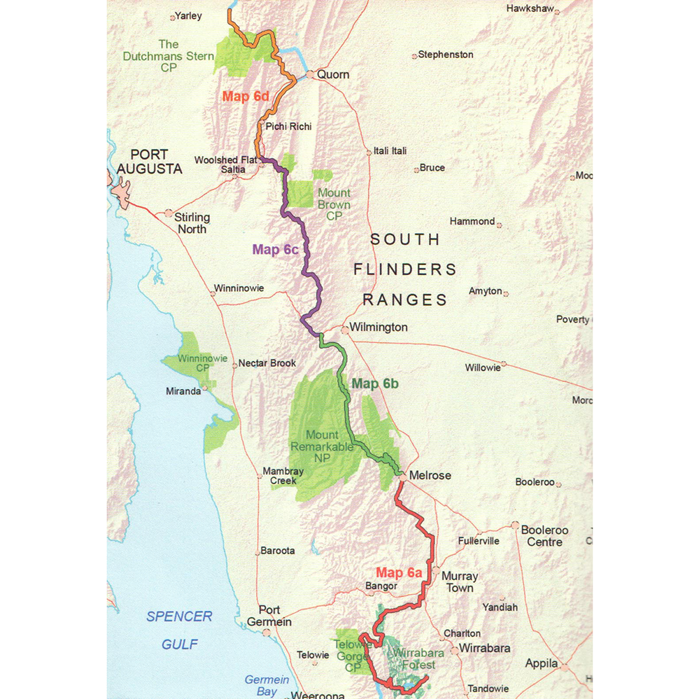
Map 6: Wirrabara Forest to Dutchmans Stern Conservation Park – published August 2015
- Map 6A, Wirrabara Forest to Melrose
- Map 6B, Melrose to Wilmington
- Map 6C, Wilmington to Woolshed Flat
- Map 6D, Woolshed Flat to Dutchmans Stern Conservation Park
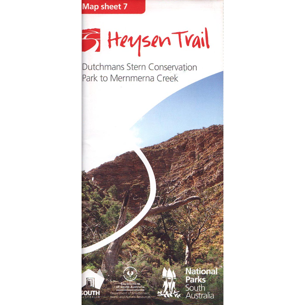
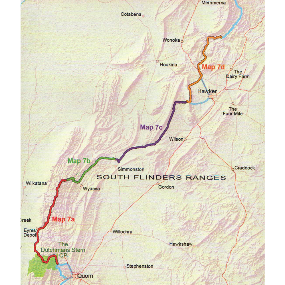
Map 7: Dutchmans Stern Conservation Park to Mernmerna Creek – published August 2015
- Map 7A, Dutchmans Stern Conservation Park to north of Mt Arden
- Map 7B, North of Mt Arden to Willochra Creek
- Map 7C, Willochra Creek to Mount Elm Camp Site
- Map 7D, Mount Elm Camp Site to Mernmerna Creek
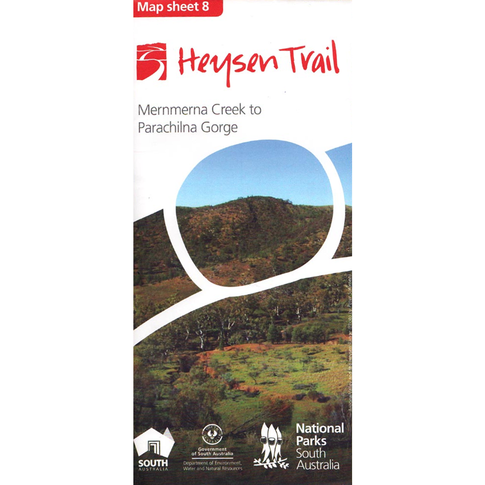
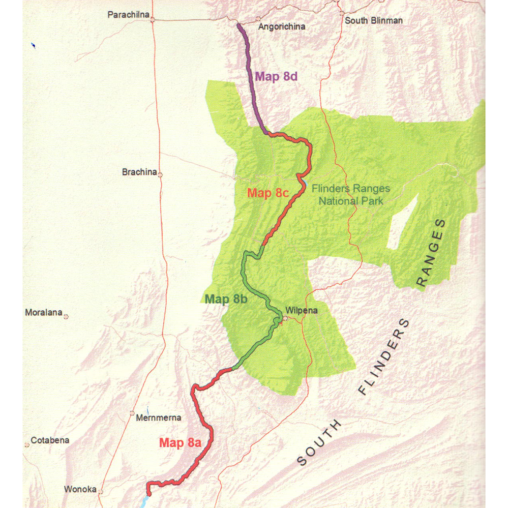
Map 8: Mernmerna Creek to Parachilna Gorge – published August 2015
- Map 8A, Mernmerna Creek to Black Gap
- Map 8B, Black Gap to Bunyeroo Creek
- Map 8C, Bunyeroo Creek to Aroona
- Map 8D, Aroona to Parachilna Gorge