Description
Located only 12 km from Adelaide, the Yurrebilla Trail starts at Belair Railway Station. You can hike the 54-kilometre Yurrebilla Trail in its entirety in three to five days or take it at your leisure and walk one or more half-day sections of the trail in the area of your choice. Top tourist attractions included in this trail are Carrick Hill, Mount Lofty Botanic Gardens, Mount Lofty Summit and Cleland Wildlife Park. It also winds through Summertown, Crafers, Norton Summit, pubs and wineries.
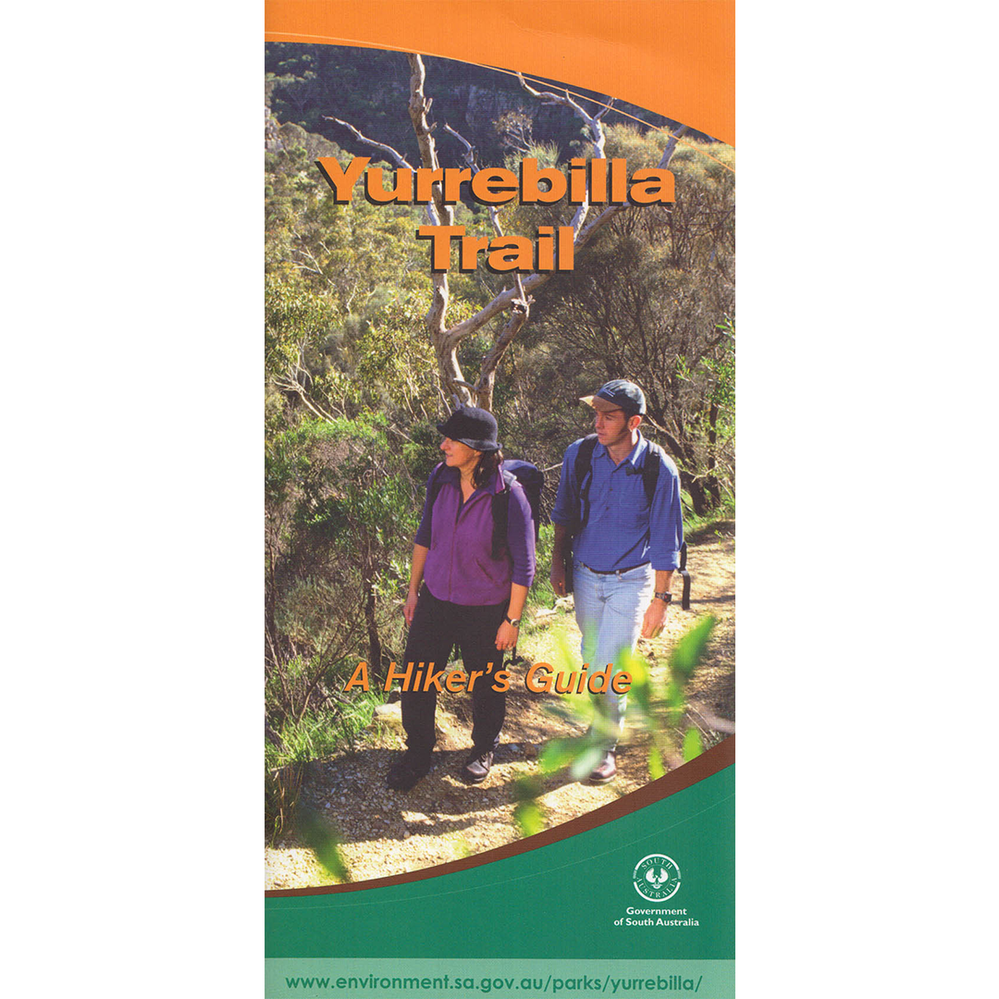
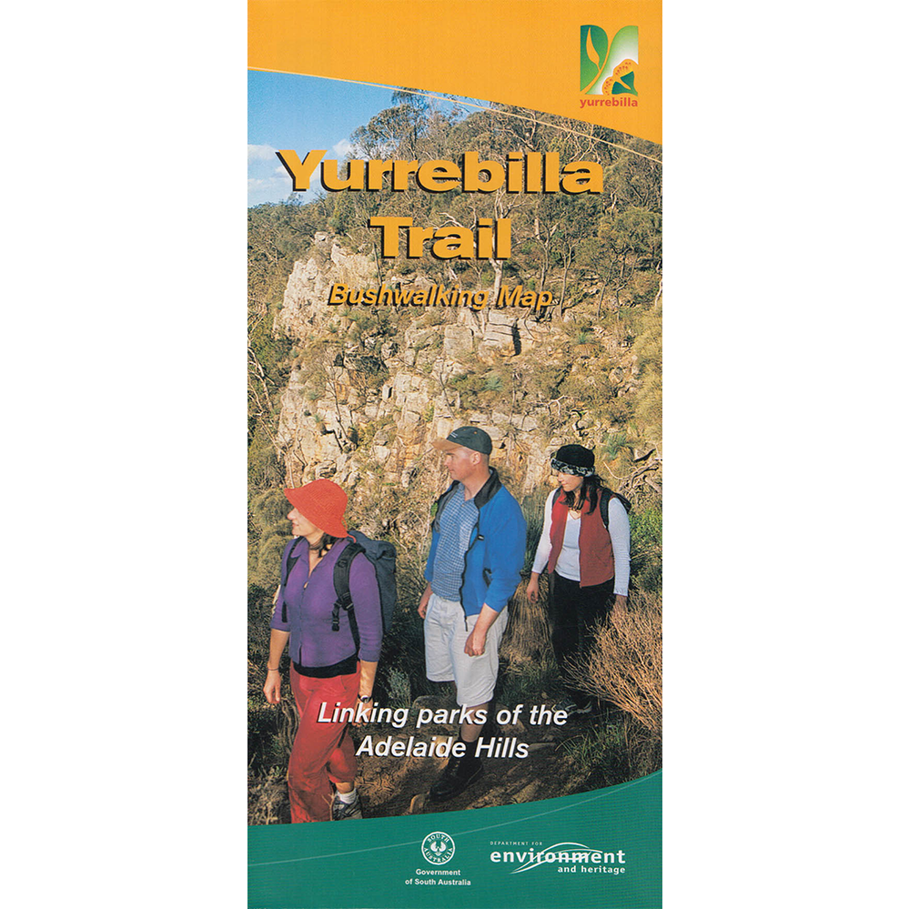
Consists of both the Bushwalking Map and Hikers Guide.
Bushwalking Map
- 59cm x 63cm map (folds to DL size 10cm x 21cm)
- 1:20 000 scale (1cm = 200m)
- colour
- double sided (north map + south map)
- contours at 50m intervals
- shows roads, tracks with names
- short section distances on map
- suggested trail sections with hours, distances and difficulty levels
- short track notes
- trail photos
Hikers Guide
- DL (10cm x 21cm) 84 page booklet with 65cm x 21cm fold out map
- 1:20 000 scale (1cm = 200m)
- colour
- map is double sided (sections 1-3, sections 3-5)
- contours at 10m intervals
- shows roads, tracks with names
- short section distances on map
- suggested trail sections with hours, distances and difficulty levels
- cultural history
- long track notes with historical notes
- trail photos
Section 1: Belair Railway Station to Eagle-on-the-Hill (17.5 km)
Section 2: Eagle-on-the-Hill to Summertown (7 km)
Section 3: Summertown to Norton Summit (9 km)
Section 4: Norton Summit to Morialta (7.5 km)
Section 5: Morialta to Ambers Gully (River Torrens) (13 km)
